
An aerial photograph of the Waimakariri River.

Photograph captioned by BeckerFraserPhotos, "Waimakariri River".
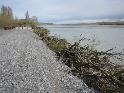
A photograph of the Waimakariri River.
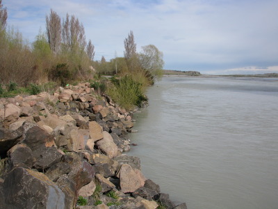
A photograph of the Waimakariri River.
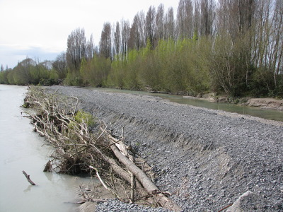
A photograph of the Waimakariri River.

An aerial photo looking south over Christchurch from the Waimakariri River.

An aerial photograph of the Christchurch Northern Motorway bridge crossing the Waimakariri River.

An aerial photograph of Kairaki over the Waimakariri River.
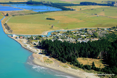
An aerial photograph of Kairaki over the Waimakariri River.

An aerial photograph of Brooklands over the Waimakariri River.

An aerial photograph of Pegasus Bay near the mouth of the Waimakariri River. To the left, Brooklands can be seen as well as Kairaki in the distance.

A poster in Kaiapoi showing the estimated timeframe for, and location of, likely residential land developments in Kaiapoi, the wider Waimakariri District and in the rural residential areas, based on major planning and subdivision applications with the Waimakariri Council as at February 2012.

An aerial photograph of a residential area in Kaiapoi. The photograph has been captioned by BeckerFraserPhotos, "Many of the streets (but not all) in the area north of the Waimakariri River are red zoned".

An aerial photograph of Canterbury and the Waimakariri River following the 4 September earthquake, taken from a helicopter.

An aerial photograph of Canterbury and the Waimakariri River following the 4 September earthquake, taken from a helicopter.

Cracks in the river bank beside the Southern Region Coastguard Waimakariri-Ashley boathouse on Charles Street in Kaiapoi.

An aerial photograph of Canterbury and the Waimakariri River following the 4 September earthquake, taken from a helicopter.

Cracks in the river bank beside the Southern Region Coastguard Waimakariri-Ashley boathouse on Charles Street in Kaiapoi.

A photograph of an All Right? billboard in a field in the Waimakariri district. The billboard reads, "It's all right if you feel frustrated at times." All Right? posted the photograph on their Facebook page on 19 March 2013 at 2:29pm.

An aerial photograph of a residential area in Kaiapoi.

Large cracks between concrete slabs in a pathway beside the Southern Region Coastguard Waimakariri-Ashley boathouse on Charles Street in Kaiapoi show how the land has slumped towards the river.

An aerial photograph of Sovereign Palms, a new housing development in Kaiapoi.