
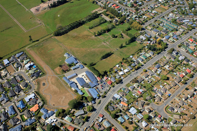
An aerial photograph of Cairnbrae, a housing development in Prebbleton.

An aerial photograph of the Christchurch CBD looking north-west from Fitzgerald Avenue.

An aerial photograph of the Christchurch CBD looking north-west from Fitzgerald Avenue.

An aerial photograph of the Christchurch CBD looking north-west from Fitzgerald Avenue.

An aerial photograph of Kilmore Street with a new medical facility under construction.

An aerial photograph looking south-east over Re:Start Mall towards The Crossing.

An aerial photograph of the Bridge of Remembrance on Cashel Street.

An aerial photograph of Cairnbrae, a new housing development in Prebbleton.

An aerial photograph of Christ Church Cathedral.

An aerial photograph of residential and industrial areas in the south-east of Christchurch.

Earthquake aerial photo taken by Jude Lathey, 6 September 2010.

An aerial photograph of a residential area in Kaiapoi.

An aerial photograph of Avonside and its surrounding suburbs.

An aerial photograph of a new residential area in West Melton.

An aerial photograph of New Brighton with the pier visible in the distance.

An aerial photograph of a new residential area in West Melton.

An aerial photograph of Kilmore Street near Cambridge Terrace.
An aerial photograph of a residential area in Kaiapoi, Kaiapoi North School in the centre.

An aerial photograph of Gap Filler's Pallet Pavilion on the vacant site of the Crowne Plaza Hotel on Kilmore Street.

An aerial photograph looking south west over Victoria Square with the Town Hall to the right.

An aerial photograph looking east over Cathedral Square with Christ Church Cathedral in the centre.

An aerial photograph looking south over the Christchurch CBD centred on Colombo Street. The Town Hall and beginnings of Gap Filler's Pallet Pavilion can be seen to the bottom left.

An aerial photograph of the Town Ball, a bar built inside a inflatable ball on Manchester Street.

An aerial photograph of a residential area in Dallington with a loop of the Avon River.

Photograph captioned by BeckerFraserPhotos, "Cathedral".

Photograph captioned by BeckerFraserPhotos, "Cashel Mall Re:Start container mall".

Photograph captioned by BeckerFraserPhotos, "54 Godley Drive, Scarborough with extensive damage to the roof tiles".

Photograph captioned by BeckerFraserPhotos, "Southern Motorway overpass across Curletts Road".

An aerial photograph of a residential area in Bexley. In the distance, Bottle Lake Forrest can be seen.

An aerial photograph looking north over the Christchurch CBD from Lichfield Street along Colombo Street. The brightly coloured roofs of the Re:Start mall can be seen in the bottom centre of the photograph.