
A map of the tectonic plate boundary of the alpine fault in New Zealand.

A map of earthquake events in Canterbury.

A flow chart depicting potential hazards earthquakes pose to coastal geography.

Infrastructure damage in Lyttelton.

Infrastructure damage in Lyttelton.

Collapse of Shag Rock.

Damage to New Brighton Bridge.

Infrastructure damage in Lyttelton.

Damage to New Brighton Bridge.

Earthquake rubbish dump at Bottlelake Forest.

Damaged road around the Avon-Heathcote Estuary.
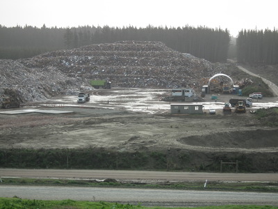
Earthquake rubbish dump at Bottlelake Forest.

A map of Christchurch soils.

Erosion scarp along North New Brighton Beach.

A truck dumps rubbish.

A map of Canterbury Earthquake Recovery Authority residential zones in Christchurch.

A graph forecasting business growth.

Classrooms in Kirkwood Village.

Classrooms in Kirkwood Village.

Classrooms in Kirkwood Village.

Shoppers at Re:Start Mall.

Shoppers at Re:Start Mall.

Shoppers at Re:Start Mall.

A photograph of liquefaction in Halswell.

Cliffs above Sumner.

The Copthorne Hotel, seen from Colombo Street.

School of Forestry signage.

School of Forestry signage.

Shoppers at Re:Start Mall.

Shoppers at Re:Start Mall.