
A woman walking beside the Avon River. Across the river a Port-a-loo has been set up for residents without functioning sewers as a result of the 4 September 2010 earthquake.
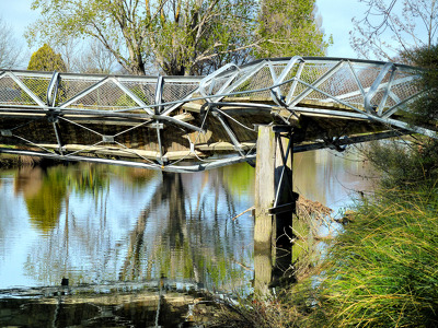
The badly twisted Medway Street footbridge. The photographer comments, "The September 4th 2010 earthquake in Christchurch was so violent that the banks of the Avon River moved towards each other. This footbridge being metal had to twist sideways to release the pressure of being pushed from both river banks. It looked like it had been wrung out like a wet towel".

A photograph of a floating installation on the Avon River as part of Canterbury Tales. The installation consists of a floor lamp, dresser and stool situated on a grass-covered platform, with net curtains hanging from the frame. It was created by students from Lincoln University's School of Landscape Architecture for Canterbury Tales, a carnivalesque procession and the main event of FESTA 2013.

The Colombo Street Bridge over the Avon River. Scaffolding has been placed under the bridge so workers can access the area underneath.

A footpath above the Avon River on Oxford Terrace. The pavement has cracked and one of the fence posts has fallen over.

A photograph captioned by BeckerFraserPhotos, "A plaque on the Cambridge Terrace side of the River Avon commemorating the Scottish Pioneers".

A warning which reads "Polluted Water, Please avoid Contact, Christchurch City Council" on a tree next to the Avon River in Avonside.

The Avon river, with some cordon fence visible on the left and the central Police station in the background between the trees.

A view down the Avon River in the city centre. A street sign marks out an uneven surface further down the street.

An aerial photograph of the Horseshoe Lake residential area near the Avon River. The photograph has been captioned by BeckerFraserPhotos, "Burwood School is at the top right of this photograph near the intersection of Lake Terrace Road and New Brighton Road. This area is mostly zoned residential green".

An aerial photograph of Durham Street with the Provincial Council Chambers in the centre.

A photograph of road works on Avonside Drive. A pipe is running along the road.

An aerial photograph captioned by BeckerFraserPhotos, "An area within the loop of the Avon River which is all red zoned now. There is some land near River Road on the other side of the river which is also red".

A concrete slab blocking access to the Medway Street footbridge. The footbridge was badly warped in the 4 September 2010 earthquake. Someone has spray painted graffiti on the concrete block. Behind the concrete is a section of safety fence further blocking access.

A photograph captioned by BeckerFraserPhotos, "Residential properties on Lois Place".

A photograph captioned by BeckerFraserPhotos, "Residential properties on Lois Place".

A photograph of the Medway Street bridge.

A photograph of the Medway Street bridge.

Low tide on the Avon River at New Brighton/Bexley. Note the original bank and the rock wall slipage on right. The white additions were added in March and April 2011 to protect the properties behind from flooding. Ultimately this area was "red zoned" with all houses removed or to be removed and the ground left till a rehabilitation method can ...

Photograph captioned by BeckerFraserPhotos, "Large cracks in the footpath of Cambridge Terrace where the road is slumping towards the Avon River".

A photograph captioned by BeckerFraserPhotos, "A view looking south down Colombo Street from the Colombo Street bridge over the River Avon".

The land and houses close to the Avon River have been badly damaged. Many road and footpaths are covered in silt from liquefaction.

The land and houses close to the Avon River have been badly damaged. Many road and footpaths are covered in silt from liquefaction.

An aerial photograph of Locksley Avenue in Dallington.

Photograph captioned by BeckerFraserPhotos, "Avonside Drive".

The Pleasant Point Yacht Club flooded at high tide.

A photograph captioned by BeckerFraserPhotos, "A photograph of a residential property on River Road in Richmond. A pipe over the fence is being used to supply water temporarily".

An aerial photograph of the Horseshoe Lake district. The photograph has been captioned by BeckerFraserPhotos, "The area circumscribed by a loop of the River Avon is all zoned red, except for the park at the upper left. On the other side of the river, most of the land is also red-zoned apart from the piece in the upper left".

A photograph captioned by BeckerFraserPhotos, "A residential property on Dallington Terrace".

A photograph captioned by BeckerFraserPhotos, "A residential property on Dallington Terrace".