
A photograph of major cracks in the ground at a farm near Telegraph Road in Darfield.

A scan of page 11 of the second book of The Pledge.

A photograph of liquefaction and water-logged soil near Anzac Drive in Bexley.

A photograph of liquefaction near Anzac Drive in Bexley.

A scan of page 16 of the second book of The Pledge.

A photograph of liquefaction near Anzac Drive in Bexley.
A scan of page 14 of the second book of The Pledge.

A photograph of liquefaction near Anzac Drive in Bexley.

A photograph of liquefaction near Anzac Drive in Bexley.

A photograph of Castle Rock in the Port Hills showing signs of recent rockfall.

A photograph of damaged fencing and erosion along a bank in the Port Hills.

A photograph of Castle Rock in the Port Hills showing signs of recent rockfall.
A scan of page 87 of the second book of The Pledge.
A scan of page 89 of the second book of The Pledge.

A photograph of the cliff face along Wakefield Avenue in Sumner. It is showing signs of recent rockfall.

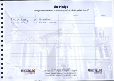
A scan of page 86 of the second book of The Pledge.

A photograph of liquefaction at a residential property on Harris Crescent in Papanui.

A scan of page 88 of the second book of The Pledge.

A photograph of the cliff face along Wakefield Avenue in Sumner. It is showing signs of recent rockfall.

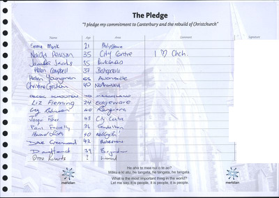
A scan of page 85 of the second book of The Pledge.

A scan of page 90 of the second book of The Pledge.

A photograph of liquefaction at a residential property on Harris Crescent in Papanui.

A scan of page 116 of the second book of The Pledge.

A photograph of cracks in the ground near Governors Bay Road.

A photograph of Castle Rock in the Port Hills showing signs of recent rockfall.

A scan of page 111 of the second book of The Pledge.

A photograph of cracks in the ground near Governors Bay Road.

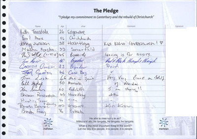
A scan of page 108 of the second book of The Pledge.

A photograph of repaired cracks on Governors Bay Road.

A photograph of a crack in the concrete pad underneath a picnic table near Governors Bay Road.